
 Local government
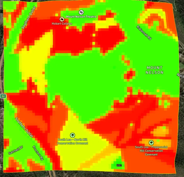
Mount Nelson, Tasmania
Mount Nelson prescribed burn
A planned burn above Hobart, modelled before it happened — and the follow-up treatment the model says should come next.
−40%Average fire size
Evidence
Verified fire scars, historical weather records and real fuel assessments. Some of these are client engagements. Some are exercises we set ourselves on public information — and we say which is which.
Local governmentMount Nelson, Tasmania
A planned burn above Hobart, modelled before it happened — and the follow-up treatment the model says should come next.
−40%Average fire size
 Forestry
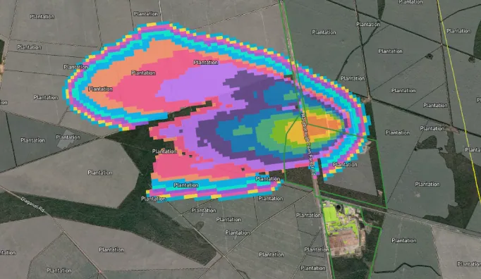
Maryborough, Queensland
A live fire near Maryborough, a sixteen-hour forecast, and an incident action plan built on it — with no impact on the mill or the plantation.
16 hrsForecast window
 Urban interface
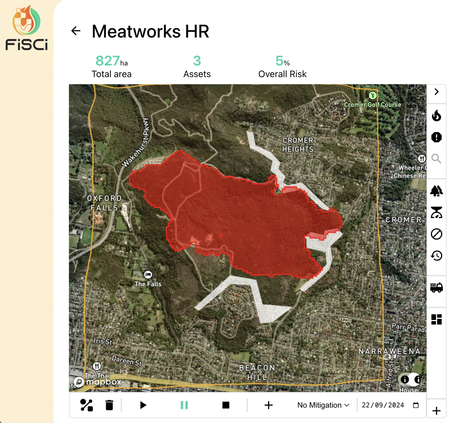
Oxford Falls, New South Wales
A 23-hectare hazard reduction became a 147-hectare bushfire. We re-ran it, then built the burn strategy that should have been used.
11% → 2%Post-burn risk
 Renewable energy
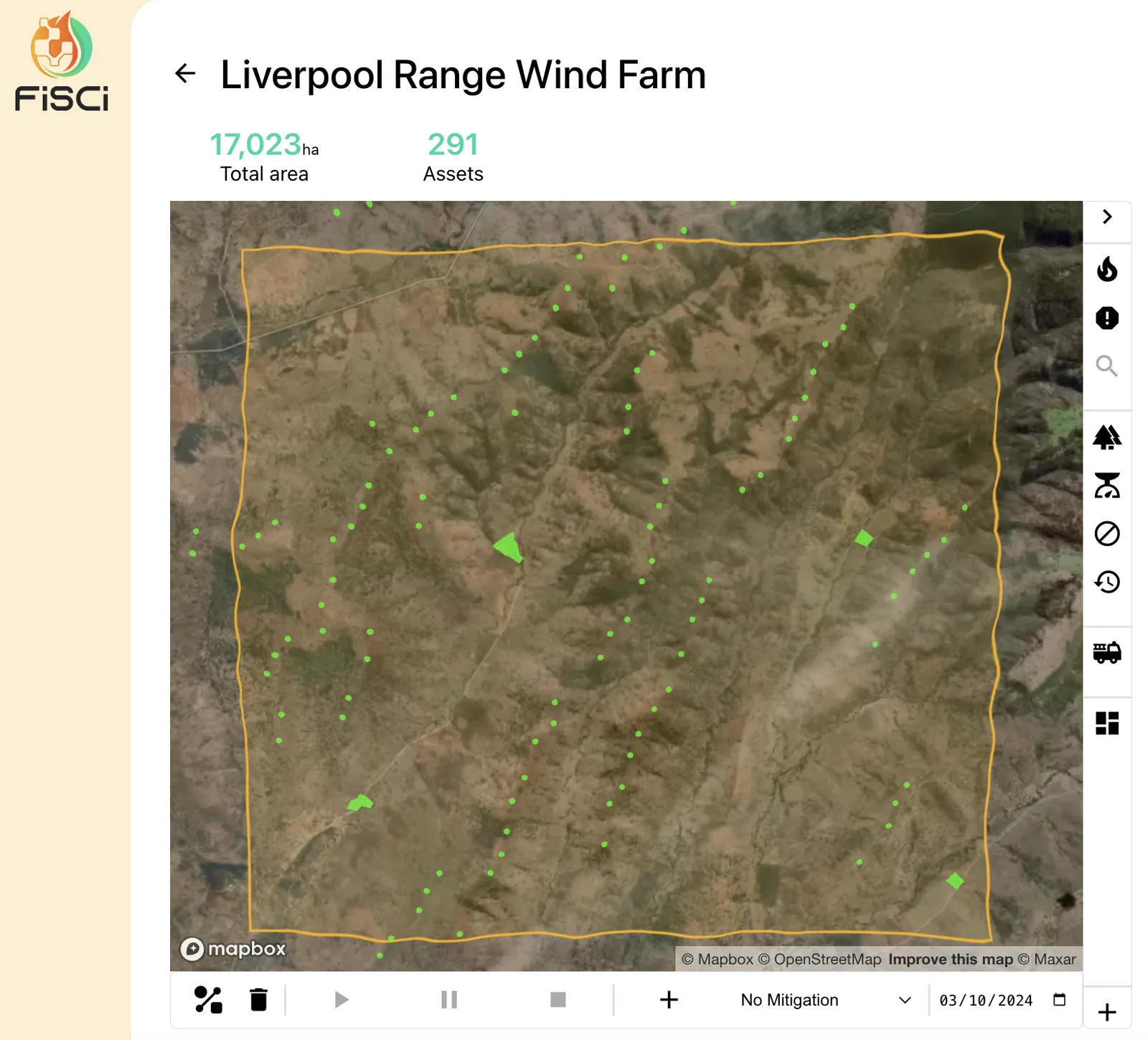
Liverpool Range, New South Wales
Protecting 287 proposed turbines from the landscape — and protecting the landscape from the turbines.
287Turbines assessed
We'll run your landscape both ways and show you what your programme is worth against the fires that actually threaten it.