A new chapter: FiSci is now open for business in Europe
Country-wide vegetation and fire scar data across the UK and mainland Europe, and why this summer made it a priority.

Kevin Bonner

I’ve written a version of this post before. Twelve months ago it was America. Today it’s Europe, and honestly, it’s overdue.
FiSci is officially open for business in the UK and across mainland Europe. The Mitigate platform is now backed by new country-wide datasets for vegetation and fire scars across the region, which means the same evidence-based modelling we’ve built our reputation on in Australia and the US is now available to land managers, insurers, foresters and asset owners from the Scottish Highlands to the hills of Andalusia.
Why now
I won’t pretend this was purely a strategic decision made in a boardroom. It was a reaction.
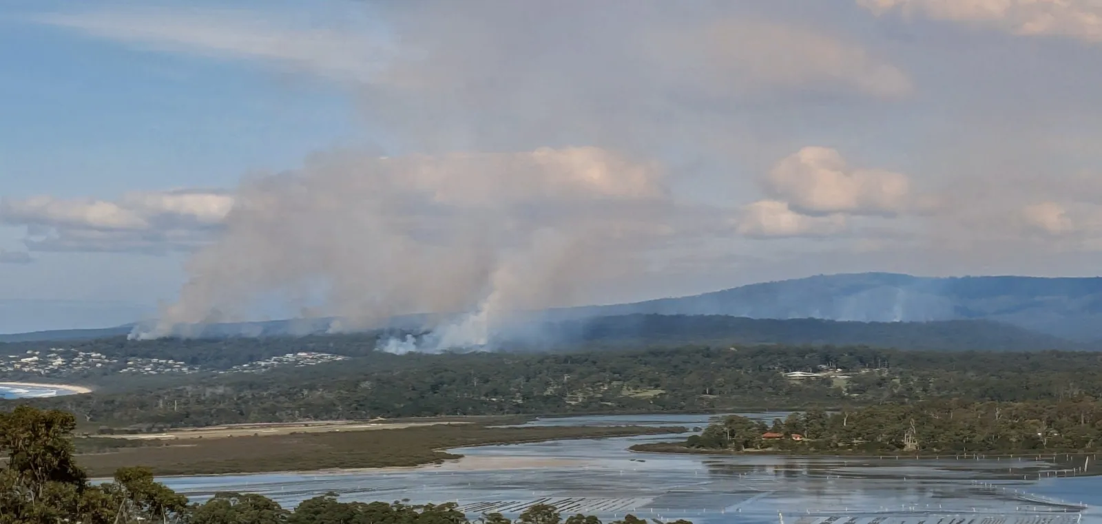
Over the past couple of fire seasons we’ve watched conditions in the UK and across mainland Europe shift in a way that’s hard to ignore. Britain has had its driest, most fire-prone springs on record, with moorland and heathland burning at a scale that used to be almost unthinkable outside of a few unlucky years. Further south, Spain, Portugal, Greece and southern France have each taken turns living through summers of extended red-flag conditions, mass evacuations and fires that outran the resources sent to fight them.
We started FiSci because we believe fire risk should be something you can see coming and plan for, not something you find out about when the smoke is already on the horizon. Watching that risk creep further north and further into “normal” life across Europe made the decision easy. If our tools can help even a handful of landholders, councils or insurers get ahead of the next bad season, then bringing Mitigate to Europe stopped being a someday project and became a this-year one.
What’s changed in Mitigate
This isn’t a repaint of an existing product with a new flag on the splash screen. It’s a real data build-out. Mitigate is now powered by:
- Country-wide vegetation mapping across the UK and mainland Europe, so fuel loads aren’t a guess — they’re modelled from the actual landscape you’re managing.
- Historical fire scar data, giving you a record of where fire has already been, how it behaved, and what that tells you about the ground you’re standing on today.
- The same simulation engine we use everywhere else, so a heathland in Northumberland and a pine forest in the Var get the same rigour as a eucalypt ridge in New South Wales.
Practically, that means you can:
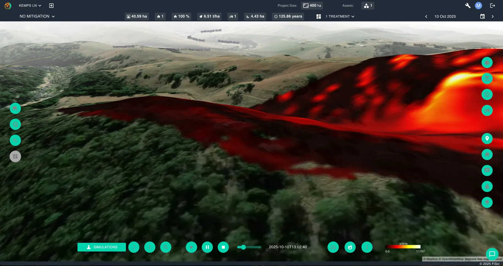
- Assess risk with precision. See how a fire would actually move through your land, and which assets sit in its path.
- Plan proactively, not reactively. Test firebreaks, prescribed burns and mechanical treatment before you commit a single euro or pound to the ground.
- Make the case, clearly. Show a councillor, an insurer or a finance team exactly how much risk a proposed intervention removes, in language everyone in the room can agree on.
An invitation, not an announcement
If you’re based in Europe and fire is on your list of things that keep you up at night — a forestry estate, a utility corridor, a vineyard, a community at the edge of the bush or the moor — I’d genuinely like to hear from you. This launch only means something if it ends up in the hands of the people doing the work on the ground.
Get in touch through our contact page or drop me a line directly, and let’s talk about what protecting your patch of Europe could look like.
Here’s to a season where we’re ready before the fire is.
— Kevin